The Story
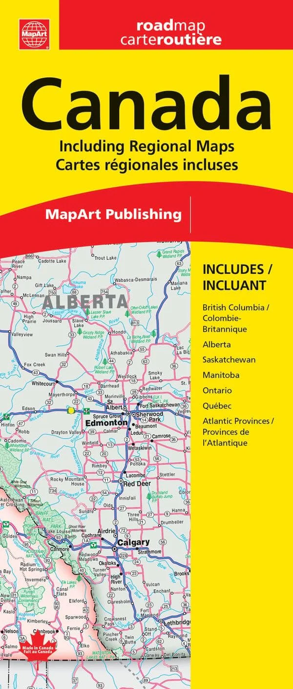
This provincial map of Canada from MapArt shows all of Canada on one side at 1:6,000 000, with the provinces marked in assorted colors for extra clarity. The map clearly highlights main roads, administrative boundaries and towns with population indications. National parks, provincial parks and government lands are also marked out. There's also a Canadian cities distance chart (in kilometers) in the top corner, which gives the distances between all the major cities. The flipside of the map has insets showing enlargements of the more popular areas throughout Canada: British Columbia, Alberta, Saskatchewan, Manitoba, Ontario, Quebec, and Atlantic Provinces.
Description
This provincial map of Canada from MapArt shows all of Canada on one side at 1:6,000 000, with the provinces marked in assorted colors for extra clarity. The map clearly highlights main roads, administrative boundaries and towns with population indications. National parks, provincial parks and government lands are also marked out. There's also a Canadian cities distance chart (in kilometers) in the top corner, which gives the distances between all the major cities. The flipside of the map has insets showing enlargements of the more popular areas throughout Canada: British Columbia, Alberta, Saskatchewan, Manitoba, Ontario, Quebec, and Atlantic Provinces.